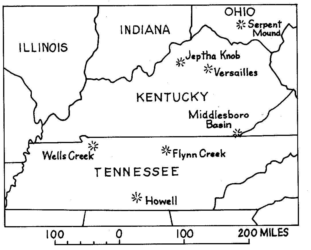
We have three. They are roughly half a billion years old and very heavily eroded. The following links show scanned images of geologic maps of Kentucky, and cross sections showing the structure of the underlying rock, a description of how to get there, and what you will see.
Versailles, Middlesboro, Jeptha Knob
The Kentucky Geological Survey gave me a lot of help preparing this. They are a great source of information.